
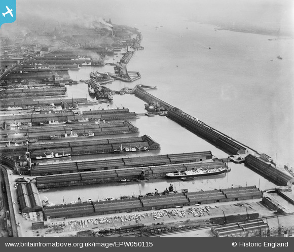
EPW050115 ENGLAND (1936). Hornby Dock, Alexandra Dock and Langton Dock, Bootle, from the north, 1936
© Copyright OpenStreetMap contributors and licensed by the OpenStreetMap Foundation. 2026. Cartography is licensed as CC BY-SA.
Nearby Images (4)
EPW050115

EAW042529

EAW042530

EAW042531

Details
| Title | [EPW050115] Hornby Dock, Alexandra Dock and Langton Dock, Bootle, from the north, 1936 |
| Reference | EPW050115 |
| Date | May-1936 |
| Link | |
| Place name | BOOTLE |
| Parish | |
| District | |
| Country | ENGLAND |
| Easting / Northing | 332874, 395266 |
| Longitude / Latitude | -3.0108770833619, 53.449619180891 |
| National Grid Reference | SJ329953 |
Pins
Be the first to add a comment to this image!