
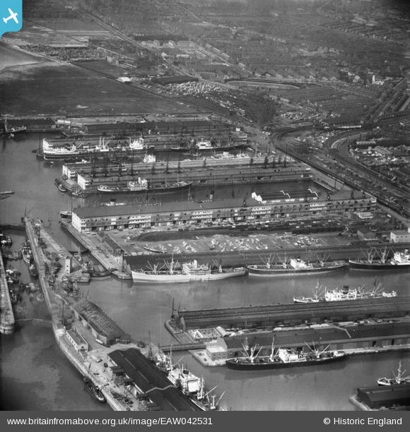
EAW042531 ENGLAND (1952). Liverpool Docks, Bootle, from the south-east, 1952
© Copyright OpenStreetMap contributors and licensed by the OpenStreetMap Foundation. 2026. Cartography is licensed as CC BY-SA.
Nearby Images (7)
EAW042531

EAW042530

EPW050115

EPW018923

EPW018920

EPW023558

EAW042529

Details
| Title | [EAW042531] Liverpool Docks, Bootle, from the south-east, 1952 |
| Reference | EAW042531 |
| Date | 18-May-1952 |
| Link | |
| Place name | BOOTLE |
| Parish | |
| District | |
| Country | ENGLAND |
| Easting / Northing | 332752, 395426 |
| Longitude / Latitude | -3.0127482270161, 53.451041724342 |
| National Grid Reference | SJ328954 |
Pins

redmist |
Friday 29th of March 2019 12:00:29 PM |