
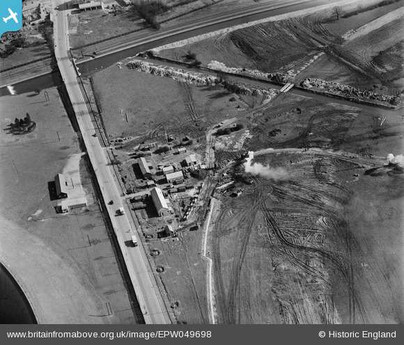
EPW049698 ENGLAND (1936). The site of the northern end of the William Girling Reservoir showing preliminary construction works, Ponders End, 1936
© Copyright OpenStreetMap contributors and licensed by the OpenStreetMap Foundation. 2026. Cartography is licensed as CC BY-SA.
Nearby Images (7)
EPW049698

EAW040929

EPW049522

EPW049716

EAW040925

EAW043545

EPW060221
 Reservoir under construction, Edmonton, from the north-east, 1938")
Details
| Title | [EPW049698] The site of the northern end of the William Girling Reservoir showing preliminary construction works, Ponders End, 1936 |
| Reference | EPW049698 |
| Date | March-1936 |
| Link | |
| Place name | PONDERS END |
| Parish | |
| District | |
| Country | ENGLAND |
| Easting / Northing | 537213, 194907 |
| Longitude / Latitude | -0.017053839790805, 51.6357442493 |
| National Grid Reference | TQ372949 |
Pins
Be the first to add a comment to this image!