
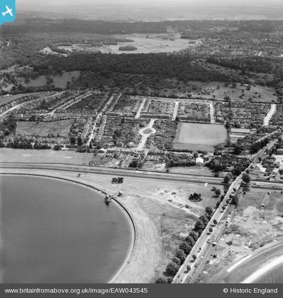
EAW043545 ENGLAND (1952). Housing estate around Amesbury Drive between King George's Reservoir and Pole Hill, Ponders End, from the west, 1952
© Copyright OpenStreetMap contributors and licensed by the OpenStreetMap Foundation. 2026. Cartography is licensed as CC BY-SA.
Nearby Images (5)
EAW043545

EPW060221
 Reservoir under construction, Edmonton, from the north-east, 1938")
EAW043546

EPW049522

EPW049698

Details
| Title | [EAW043545] Housing estate around Amesbury Drive between King George's Reservoir and Pole Hill, Ponders End, from the west, 1952 |
| Reference | EAW043545 |
| Date | 4-June-1952 |
| Link | |
| Place name | PONDERS END |
| Parish | |
| District | |
| Country | ENGLAND |
| Easting / Northing | 537441, 195092 |
| Longitude / Latitude | -0.013688351960959, 51.637351152866 |
| National Grid Reference | TQ374951 |
Pins
 |

redmist |
Tuesday 2nd of November 2021 09:08:30 PM |