
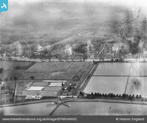
EPW049602 ENGLAND (1936). The Walton Pumping Station and Treatment Works and environs, Walton-on-Thames, from the south-east, 1936
© Copyright OpenStreetMap contributors and licensed by the OpenStreetMap Foundation. 2026. Cartography is licensed as CC BY-SA.
Nearby Images (14)
EPW049602

EPW015607

EPW015608

EPW014848

EPW015609

EPW014844

EPW014845

EPW015605

EPW015604

EPW014847

EPW015602

EPW015606

EPW015603

EPW014846

Details
| Title | [EPW049602] The Walton Pumping Station and Treatment Works and environs, Walton-on-Thames, from the south-east, 1936 |
| Reference | EPW049602 |
| Date | January-1936 |
| Link | |
| Place name | WALTON-ON-THAMES |
| Parish | |
| District | |
| Country | ENGLAND |
| Easting / Northing | 511664, 168398 |
| Longitude / Latitude | -0.39450504436983, 51.403110507454 |
| National Grid Reference | TQ117684 |
Pins

alan |
Friday 22nd of April 2016 08:37:23 AM |