
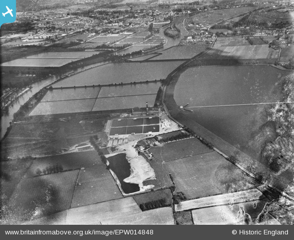
EPW014848 ENGLAND (1926). The Water Works and surrounding reservoirs, Walton-on-Thames, 1926
© Copyright OpenStreetMap contributors and licensed by the OpenStreetMap Foundation. 2026. Cartography is licensed as CC BY-SA.
Nearby Images (14)
EPW014848

EPW049602

EPW015609

EPW015607

EPW015602

EPW015608

EPW015605

EPW014845

EPW015606

EPW014844

EPW015603

EPW014846

EPW015604

EPW014847

Details
| Title | [EPW014848] The Water Works and surrounding reservoirs, Walton-on-Thames, 1926 |
| Reference | EPW014848 |
| Date | 30-March-1926 |
| Link | |
| Place name | WALTON-ON-THAMES |
| Parish | |
| District | |
| Country | ENGLAND |
| Easting / Northing | 511720, 168361 |
| Longitude / Latitude | -0.39371187563549, 51.402766880102 |
| National Grid Reference | TQ117684 |
Pins
Be the first to add a comment to this image!