
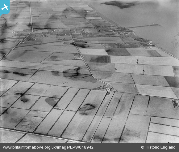
EPW048942 ENGLAND (1935). Oxmarsh Farm and surrounding countryside, New Holland, 1935. This image has been produced from a damaged negative.
© Copyright OpenStreetMap contributors and licensed by the OpenStreetMap Foundation. 2026. Cartography is licensed as CC BY-SA.
Nearby Images (4)
EPW048942

EPW048938

EPW048939

EPW048940

Details
| Title | [EPW048942] Oxmarsh Farm and surrounding countryside, New Holland, 1935. This image has been produced from a damaged negative. |
| Reference | EPW048942 |
| Date | August-1935 |
| Link | |
| Place name | NEW HOLLAND |
| Parish | NEW HOLLAND |
| District | |
| Country | ENGLAND |
| Easting / Northing | 509370, 424035 |
| Longitude / Latitude | -0.34310911900324, 53.701051815457 |
| National Grid Reference | TA094240 |
Pins

John Wass |
Wednesday 14th of October 2015 03:09:42 PM | |
|
John Wass |
Wednesday 14th of October 2015 03:07:04 PM | |
|
John Wass |
Wednesday 14th of October 2015 03:05:10 PM | |
|
John Wass |
Wednesday 14th of October 2015 03:04:44 PM | |
|
John Wass |
Wednesday 14th of October 2015 03:04:05 PM |