
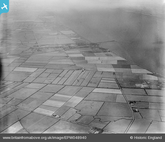
EPW048940 ENGLAND (1935). Neatgangs Lane and the surrounding countryside, New Holland, 1935
© Copyright OpenStreetMap contributors and licensed by the OpenStreetMap Foundation. 2026. Cartography is licensed as CC BY-SA.
Nearby Images (5)
EPW048940

EPW048939

EPW048938

EPW048942

EPW048936

Details
| Title | [EPW048940] Neatgangs Lane and the surrounding countryside, New Holland, 1935 |
| Reference | EPW048940 |
| Date | August-1935 |
| Link | |
| Place name | NEW HOLLAND |
| Parish | NEW HOLLAND |
| District | |
| Country | ENGLAND |
| Easting / Northing | 509556, 424167 |
| Longitude / Latitude | -0.34024594992181, 53.702198890645 |
| National Grid Reference | TA096242 |
Pins

John Wass |
Saturday 2nd of February 2019 06:58:34 PM |