
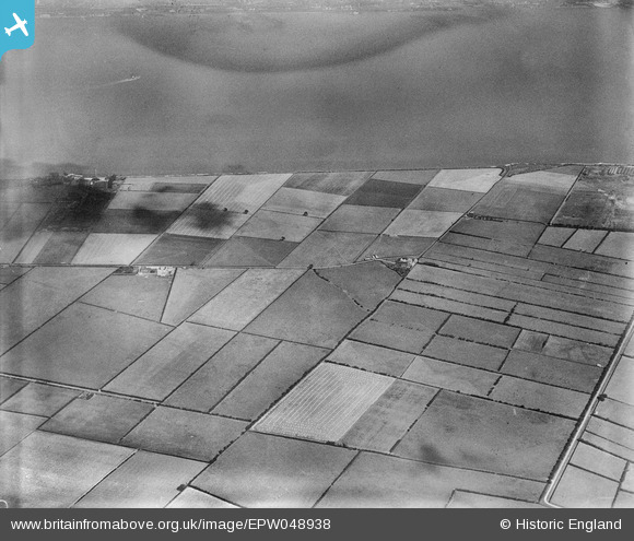
EPW048938 ENGLAND (1935). Oxmarsh Farm, the River Humber and surrounding countryside, New Holland, 1935
© Copyright OpenStreetMap contributors and licensed by the OpenStreetMap Foundation. 2026. Cartography is licensed as CC BY-SA.
Nearby Images (5)
EPW048938

EPW048939

EPW048940

EPW048942

EPW048936

Details
| Title | [EPW048938] Oxmarsh Farm, the River Humber and surrounding countryside, New Holland, 1935 |
| Reference | EPW048938 |
| Date | August-1935 |
| Link | |
| Place name | NEW HOLLAND |
| Parish | NEW HOLLAND |
| District | |
| Country | ENGLAND |
| Easting / Northing | 509458, 424112 |
| Longitude / Latitude | -0.34174938059743, 53.701725249335 |
| National Grid Reference | TA095241 |
Pins
Be the first to add a comment to this image!