
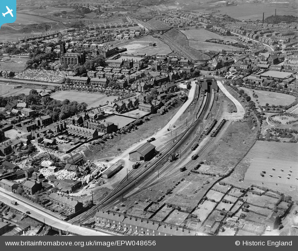
EPW048656 ENGLAND (1935). The goods yard, railway station and environs, Whitefield, 1935
© Copyright OpenStreetMap contributors and licensed by the OpenStreetMap Foundation. 2026. Cartography is licensed as CC BY-SA.
Nearby Images (12)
EPW048656

EPW048658

EPW048644

EPW048635

EPW047499

EPW047500

EPW047498

EPW048632

EPW047501

EPW046170

EPW048646

EPW046171

Details
| Title | [EPW048656] The goods yard, railway station and environs, Whitefield, 1935 |
| Reference | EPW048656 |
| Date | July-1935 |
| Link | |
| Place name | WHITEFIELD |
| Parish | |
| District | |
| Country | ENGLAND |
| Easting / Northing | 380612, 405964 |
| Longitude / Latitude | -2.2926559999426, 53.549706877632 |
| National Grid Reference | SD806060 |
Pins

Moonraker |
Thursday 25th of January 2024 10:47:22 PM | |
|
John Wass |
Saturday 2nd of May 2015 11:54:29 AM | |
|
boltie |
Wednesday 15th of January 2014 09:34:31 PM | |
|
boltie |
Tuesday 14th of January 2014 12:35:05 AM | |
|
boltie |
Tuesday 14th of January 2014 12:34:00 AM | |
|
boltie |
Tuesday 14th of January 2014 12:32:09 AM | |
|
boltie |
Tuesday 14th of January 2014 12:29:29 AM | |
|
boltie |
Tuesday 14th of January 2014 12:28:31 AM |