
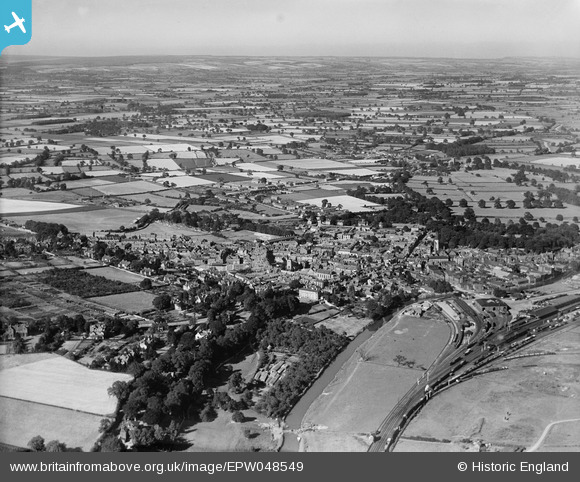
EPW048549 ENGLAND (1935). The town and surrounding countryside, Malton, from the south-west, 1935
© Copyright OpenStreetMap contributors and licensed by the OpenStreetMap Foundation. 2026. Cartography is licensed as CC BY-SA.
Nearby Images (8)
EPW048549

EPW048550

EPW048564

EPW029547

EPW048561

EPW048543

EPW048557

EPW048551

Details
| Title | [EPW048549] The town and surrounding countryside, Malton, from the south-west, 1935 |
| Reference | EPW048549 |
| Date | July-1935 |
| Link | |
| Place name | MALTON |
| Parish | MALTON |
| District | |
| Country | ENGLAND |
| Easting / Northing | 478389, 471520 |
| Longitude / Latitude | -0.80014475854338, 54.133364965149 |
| National Grid Reference | SE784715 |
Pins

AndyW |
Monday 21st of July 2014 11:58:19 AM |