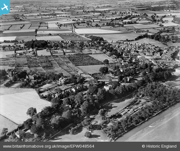
EPW048564 ENGLAND (1935). The town, Malton, 1935
    © Copyright OpenStreetMap contributors and licensed by the OpenStreetMap Foundation. 2025. Cartography is licensed as CC BY-SA.
  
Nearby Images (6)
Details
| Title | [EPW048564] The town, Malton, 1935 | 
| Reference | EPW048564 | 
| Date | July-1935 | 
| Link | |
| Place name | MALTON | 
| Parish | MALTON | 
| District | |
| Country | ENGLAND | 
| Easting / Northing | 478225, 471619 | 
| Longitude / Latitude | -0.80262874511897, 54.134279621721 | 
| National Grid Reference | SE782716 | 
Pins
Be the first to add a comment to this image!
 
             
  ![[EPW048564] The town, Malton, 1935](http://britainfromabove.org.uk/sites/all/libraries/aerofilms-images/public/100x100/EPW/048/EPW048564.jpg) 
  
                                          ![[EPW048557] The town and surrounding countryside, Malton, from the west, 1935](http://britainfromabove.org.uk/sites/all/libraries/aerofilms-images/public/100x100/EPW/048/EPW048557.jpg) 
 ![[EPW048551] The town and surrounding countryside, Malton, 1935](http://britainfromabove.org.uk/sites/all/libraries/aerofilms-images/public/100x100/EPW/048/EPW048551.jpg) 
 ![[EPW048543] Countryside to the west of the town, Malton, 1935](http://britainfromabove.org.uk/sites/all/libraries/aerofilms-images/public/100x100/EPW/048/EPW048543.jpg) 
 ![[EPW048549] The town and surrounding countryside, Malton, from the south-west, 1935](http://britainfromabove.org.uk/sites/all/libraries/aerofilms-images/public/100x100/EPW/048/EPW048549.jpg) 
 ![[EPW048550] The town, the River Derwent and surrounding countryside, Malton, 1935](http://britainfromabove.org.uk/sites/all/libraries/aerofilms-images/public/100x100/EPW/048/EPW048550.jpg)