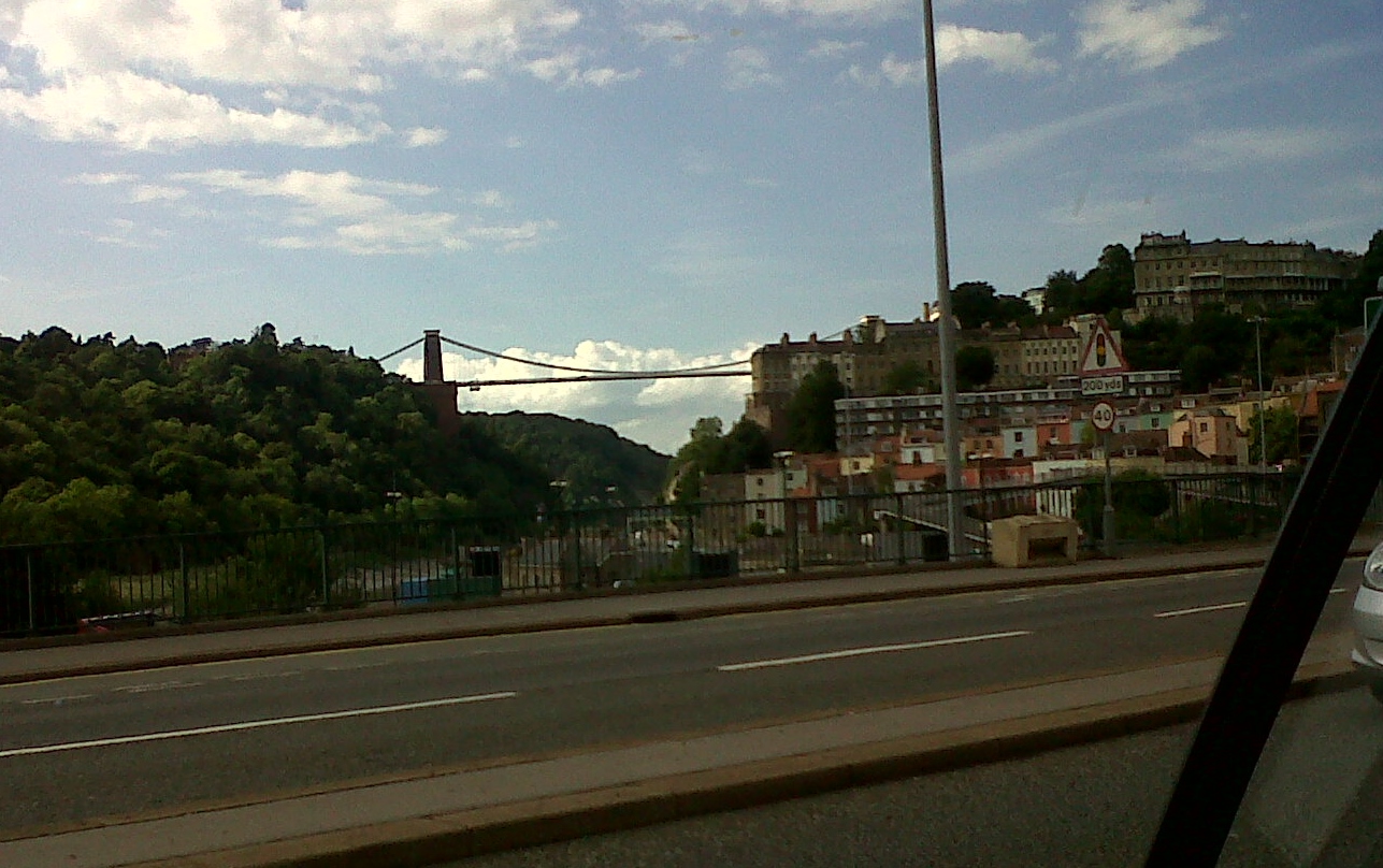
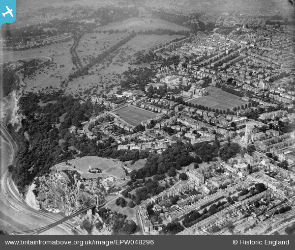
EPW048296 ENGLAND (1935). The suburb of Clifton alongside Clifton Down, Clifton, 1935
© Copyright OpenStreetMap contributors and licensed by the OpenStreetMap Foundation. 2026. Cartography is licensed as CC BY-SA.
Nearby Images (15)
EPW048296

EPW048297

EPW048300

EPW048293

EPW048294

EPW048291

EPW048290

EPW049533

EPW048298

EPW032530

EPW010231

EPW048292

EPW005467

EPW005466

EPW005468

Details
| Title | [EPW048296] The suburb of Clifton alongside Clifton Down, Clifton, 1935 |
| Reference | EPW048296 |
| Date | July-1935 |
| Link | |
| Place name | CLIFTON |
| Parish | |
| District | |
| Country | ENGLAND |
| Easting / Northing | 356789, 173686 |
| Longitude / Latitude | -2.6220408524686, 51.460010316404 |
| National Grid Reference | ST568737 |
Pins
Be the first to add a comment to this image!