
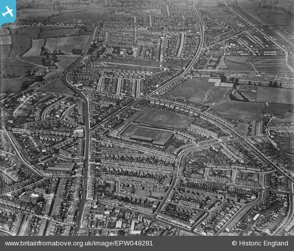
EPW048281 ENGLAND (1935). The Memorial Stadium and the surrounding residential area, Horfield, 1935
© Copyright OpenStreetMap contributors and licensed by the OpenStreetMap Foundation. 2025. Cartography is licensed as CC BY-SA.
Nearby Images (4)
EPW048281

EPW048282

EPW048280

EPW048279

Details
| Title | [EPW048281] The Memorial Stadium and the surrounding residential area, Horfield, 1935 |
| Reference | EPW048281 |
| Date | July-1935 |
| Link | |
| Place name | HORFIELD |
| Parish | |
| District | |
| Country | ENGLAND |
| Easting / Northing | 359636, 176610 |
| Longitude / Latitude | -2.5813935520664, 51.486513412846 |
| National Grid Reference | ST596766 |
Pins
 Geoff |
Wednesday 27th of August 2014 03:38:42 PM | |
Geoff |
Wednesday 27th of August 2014 03:37:56 PM | |
Geoff |
Wednesday 27th of August 2014 03:37:04 PM | |
Geoff |
Wednesday 27th of August 2014 03:36:34 PM | |
Geoff |
Wednesday 27th of August 2014 03:36:03 PM | |
MrNCWilson |
Monday 18th of November 2013 07:28:40 PM |