
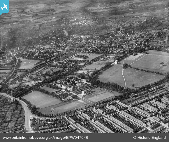
EPW047646 ENGLAND (1935). Victoria Park, University College Leicester and Welford Road Cemetery, Leicester, from the south-east, 1935
© Copyright OpenStreetMap contributors and licensed by the OpenStreetMap Foundation. 2026. Cartography is licensed as CC BY-SA.
Nearby Images (6)
EPW047646

EPW047647

EPW047648

EPW047649

EPW014911

EPW055017

Details
| Title | [EPW047646] Victoria Park, University College Leicester and Welford Road Cemetery, Leicester, from the south-east, 1935 |
| Reference | EPW047646 |
| Date | June-1935 |
| Link | |
| Place name | LEICESTER |
| Parish | |
| District | |
| Country | ENGLAND |
| Easting / Northing | 459470, 302623 |
| Longitude / Latitude | -1.1214922611506, 52.617762912611 |
| National Grid Reference | SK595026 |
Pins

diag |
Sunday 27th of October 2013 04:09:55 PM | |
|
diag |
Sunday 27th of October 2013 04:08:58 PM | |
|
diag |
Sunday 27th of October 2013 04:06:47 PM | |
|
diag |
Sunday 27th of October 2013 04:05:56 PM |