
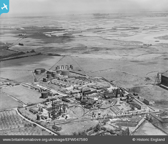
EPW047580 ENGLAND (1935). The Berry Wiggins Oil Refinery and environs, Kingsnorth, from the south-west, 1935
© Copyright OpenStreetMap contributors and licensed by the OpenStreetMap Foundation. 2026. Cartography is licensed as CC BY-SA.
Nearby Images (20)
EPW047580

EPW047585

EPW047582

EAW000061

EAW000059

EAW000062

EPW000062

EPW047584

EPW047578

EPW047586

EAW000063

EPW047579

EAW032068

EAW032064

EAW032070

EPW047583

EAW032067

EAW000060

EPW000060A

EAW032069

Details
| Title | [EPW047580] The Berry Wiggins Oil Refinery and environs, Kingsnorth, from the south-west, 1935 |
| Reference | EPW047580 |
| Date | June-1935 |
| Link | |
| Place name | KINGSNORTH |
| Parish | HOO ST. WERBURGH |
| District | |
| Country | ENGLAND |
| Easting / Northing | 580609, 173119 |
| Longitude / Latitude | 0.59829944594572, 51.427760779281 |
| National Grid Reference | TQ806731 |
