
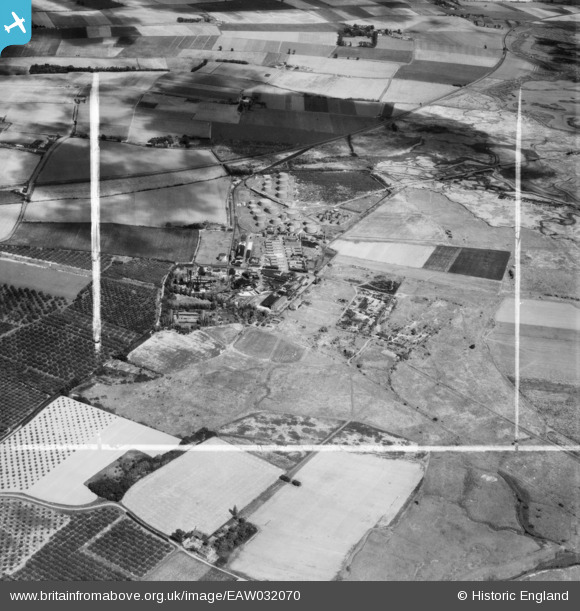
EAW032070 ENGLAND (1950). The Berry Wiggins Oil Refinery, Kingsnorth, 1950. This image was marked by Aerofilms Ltd for photo editing.
© Copyright OpenStreetMap contributors and licensed by the OpenStreetMap Foundation. 2026. Cartography is licensed as CC BY-SA.
Nearby Images (19)
EAW032070

EAW032064

EAW000063

EAW000060

EAW000059

EPW000062

EPW000060A

EAW000062

EPW047585

EPW047584

EPW047586

EPW047583

EPW047579

EAW032068

EAW000061

EPW047578

EPW047580

EPW047582

EAW032069

Details
| Title | [EAW032070] The Berry Wiggins Oil Refinery, Kingsnorth, 1950. This image was marked by Aerofilms Ltd for photo editing. |
| Reference | EAW032070 |
| Date | 24-August-1950 |
| Link | |
| Place name | KINGSNORTH |
| Parish | HOO ST. WERBURGH |
| District | |
| Country | ENGLAND |
| Easting / Northing | 580744, 172998 |
| Longitude / Latitude | 0.60017771498483, 51.426630750268 |
| National Grid Reference | TQ807730 |
Pins
Be the first to add a comment to this image!