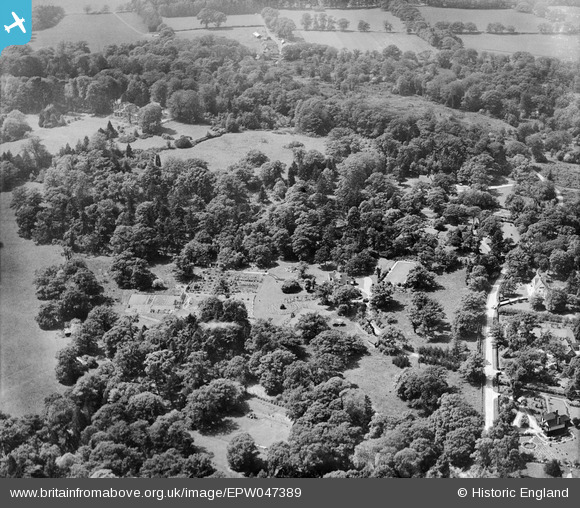
EPW047389 ENGLAND (1935). St Leonard's, Windsor, from the east, 1935
© Copyright OpenStreetMap contributors and licensed by the OpenStreetMap Foundation. 2025. Cartography is licensed as CC BY-SA.
Nearby Images (10)
Details
| Title | [EPW047389] St Leonard's, Windsor, from the east, 1935 |
| Reference | EPW047389 |
| Date | May-1935 |
| Link | |
| Place name | WINDSOR |
| Parish | |
| District | |
| Country | ENGLAND |
| Easting / Northing | 494185, 175221 |
| Longitude / Latitude | -0.64391869295093, 51.467622571502 |
| National Grid Reference | SU942752 |
Pins
Be the first to add a comment to this image!


![[EPW047389] St Leonard's, Windsor, from the east, 1935](http://britainfromabove.org.uk/sites/all/libraries/aerofilms-images/public/100x100/EPW/047/EPW047389.jpg)
![[EPW047255] St Leonardshill House and grounds, Windsor, from the east, 1935](http://britainfromabove.org.uk/sites/all/libraries/aerofilms-images/public/100x100/EPW/047/EPW047255.jpg)
![[EPW047258] St Leonardshill House and grounds, Windsor, from the east, 1935](http://britainfromabove.org.uk/sites/all/libraries/aerofilms-images/public/100x100/EPW/047/EPW047258.jpg)
![[EPW047392] St Leonard's, Windsor, from the east, 1935](http://britainfromabove.org.uk/sites/all/libraries/aerofilms-images/public/100x100/EPW/047/EPW047392.jpg)
![[EPW047257] St Leonardshill House and grounds, Windsor, 1935](http://britainfromabove.org.uk/sites/all/libraries/aerofilms-images/public/100x100/EPW/047/EPW047257.jpg)
![[EPW047256] St Leonardshill House and grounds, Windsor, 1935](http://britainfromabove.org.uk/sites/all/libraries/aerofilms-images/public/100x100/EPW/047/EPW047256.jpg)
![[EPW047388] St Leonard's, Windsor, from the east, 1935](http://britainfromabove.org.uk/sites/all/libraries/aerofilms-images/public/100x100/EPW/047/EPW047388.jpg)
![[EPW047259] St Leonardshill House and grounds, Windsor, from the south-east, 1935](http://britainfromabove.org.uk/sites/all/libraries/aerofilms-images/public/100x100/EPW/047/EPW047259.jpg)
![[EPW047390] St Leonard's, Windsor, 1935](http://britainfromabove.org.uk/sites/all/libraries/aerofilms-images/public/100x100/EPW/047/EPW047390.jpg)
![[EPW047387] St Leonard's, Windsor, 1935](http://britainfromabove.org.uk/sites/all/libraries/aerofilms-images/public/100x100/EPW/047/EPW047387.jpg)