
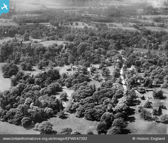
EPW047392 ENGLAND (1935). St Leonard's, Windsor, from the east, 1935
© Copyright OpenStreetMap contributors and licensed by the OpenStreetMap Foundation. 2026. Cartography is licensed as CC BY-SA.
Nearby Images (2)
EPW047392

EPW047389

Details
| Title | [EPW047392] St Leonard's, Windsor, from the east, 1935 |
| Reference | EPW047392 |
| Date | May-1935 |
| Link | |
| Place name | WINDSOR |
| Parish | |
| District | |
| Country | ENGLAND |
| Easting / Northing | 494323, 175358 |
| Longitude / Latitude | -0.64189578926158, 51.468831214562 |
| National Grid Reference | SU943754 |
Pins
Be the first to add a comment to this image!