
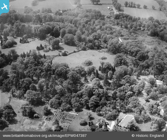
EPW047387 ENGLAND (1935). St Leonard's, Windsor, 1935
© Copyright OpenStreetMap contributors and licensed by the OpenStreetMap Foundation. 2026. Cartography is licensed as CC BY-SA.
Nearby Images (9)
EPW047387

EPW047390

EPW047545

EPW047544

EPW047546

EPW047542

EPW047547

EPW047543

EPW047389

Details
| Title | [EPW047387] St Leonard's, Windsor, 1935 |
| Reference | EPW047387 |
| Date | May-1935 |
| Link | |
| Place name | WINDSOR |
| Parish | |
| District | |
| Country | ENGLAND |
| Easting / Northing | 493962, 175390 |
| Longitude / Latitude | -0.64708355571899, 51.469178969833 |
| National Grid Reference | SU940754 |
Pins
Be the first to add a comment to this image!