
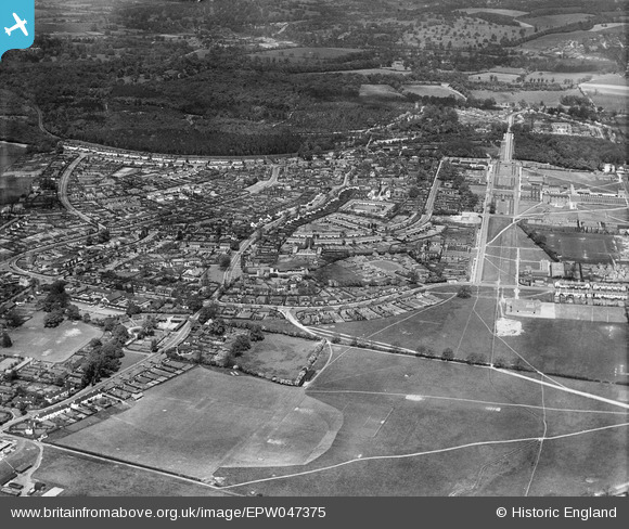
EPW047375 ENGLAND (1935). Handside and Sherrardspark Wood, Welwyn Garden City, from the south-west, 1935
© Copyright OpenStreetMap contributors and licensed by the OpenStreetMap Foundation. 2026. Cartography is licensed as CC BY-SA.
Nearby Images (6)
EPW047375

EAW041977

EPW047378

EAW035462

EPW009817

EAW041979

Details
| Title | [EPW047375] Handside and Sherrardspark Wood, Welwyn Garden City, from the south-west, 1935 |
| Reference | EPW047375 |
| Date | May-1935 |
| Link | |
| Place name | WELWYN GARDEN CITY |
| Parish | |
| District | |
| Country | ENGLAND |
| Easting / Northing | 523188, 212207 |
| Longitude / Latitude | -0.21350775917232, 51.79448045847 |
| National Grid Reference | TL232122 |
Pins
Be the first to add a comment to this image!