
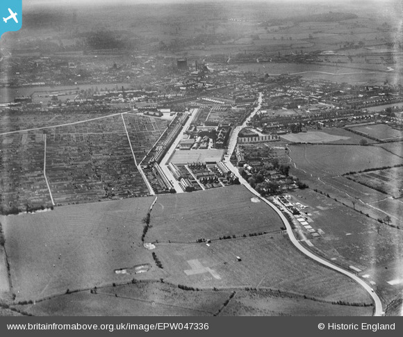
EPW047336 ENGLAND (1935). Sandon Road and environs, Stafford, 1935
© Copyright OpenStreetMap contributors and licensed by the OpenStreetMap Foundation. 2026. Cartography is licensed as CC BY-SA.
Nearby Images (29)
EPW047336

EAW016406

EPW047335

EAW016407

EPW047324

EPW047337

EPW047668

EPW047325

EPW047323

EPW047319

EPW047321

EPW047664

EPW047666

EPW047322

EPW047338

EPW047326

EPW047667

EPW047663

EPW047670

EPW047320

EPW047669

EPW047665

EAW016402

EPW014118

EAW016401

EAW016403

EAW016405

EAW016404

EPW053372

Details
| Title | [EPW047336] Sandon Road and environs, Stafford, 1935 |
| Reference | EPW047336 |
| Date | May-1935 |
| Link | |
| Place name | STAFFORD |
| Parish | |
| District | |
| Country | ENGLAND |
| Easting / Northing | 392636, 324516 |
| Longitude / Latitude | -2.1092807905461, 52.817802036166 |
| National Grid Reference | SJ926245 |
Pins

Nothing Better To Do |
Wednesday 7th of June 2023 11:14:43 AM | |
|
Nothing Better To Do |
Wednesday 7th of June 2023 11:13:56 AM |