
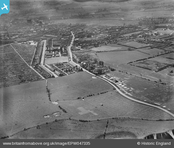
EPW047335 ENGLAND (1935). Sandon Road and environs, Stafford, 1935
© Copyright OpenStreetMap contributors and licensed by the OpenStreetMap Foundation. 2026. Cartography is licensed as CC BY-SA.
Nearby Images (8)
EPW047335

EPW047337

EPW047338

EPW047336

EAW016406

EAW016401

EAW016407

EPW047324

Details
| Title | [EPW047335] Sandon Road and environs, Stafford, 1935 |
| Reference | EPW047335 |
| Date | May-1935 |
| Link | |
| Place name | STAFFORD |
| Parish | |
| District | |
| Country | ENGLAND |
| Easting / Northing | 392637, 324644 |
| Longitude / Latitude | -2.1092688368722, 52.818952830839 |
| National Grid Reference | SJ926246 |
Pins

bescotbeast |
Tuesday 10th of December 2013 09:13:25 PM |