
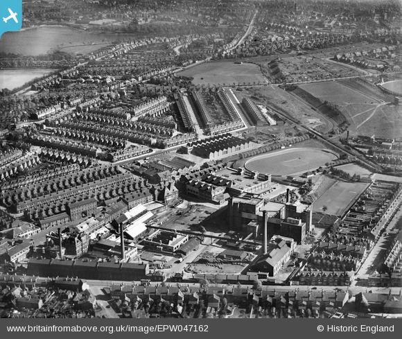
EPW047162 ENGLAND (1935). The Cape Hill Brewery and Cricket Ground, Smethwick, 1935
© Copyright OpenStreetMap contributors and licensed by the OpenStreetMap Foundation. 2025. Cartography is licensed as CC BY-SA.
Nearby Images (10)
EPW047162

EPW047164

EPW047165

EPW047161

EPW047163

EPW047160

EPW047159

EPW047167

EPW047166

EPW047158

Details
| Title | [EPW047162] The Cape Hill Brewery and Cricket Ground, Smethwick, 1935 |
| Reference | EPW047162 |
| Date | May-1935 |
| Link | |
| Place name | SMETHWICK |
| Parish | |
| District | |
| Country | ENGLAND |
| Easting / Northing | 403453, 287415 |
| Longitude / Latitude | -1.949146364988, 52.484275694262 |
| National Grid Reference | SP035874 |
Pins

Kevin |
Sunday 24th of July 2016 10:22:35 PM | |
|
Kevin |
Sunday 24th of July 2016 10:21:59 PM | |
|
Kevin |
Sunday 24th of July 2016 10:20:59 PM | |
|
PURCELL |
Saturday 22nd of March 2014 10:24:51 AM | |
|
PURCELL |
Saturday 22nd of March 2014 10:23:33 AM | |
|
PURCELL |
Saturday 22nd of March 2014 10:22:56 AM | |
|
PURCELL |
Saturday 22nd of March 2014 10:22:34 AM | |
|
PURCELL |
Saturday 22nd of March 2014 10:21:28 AM | |
|
PURCELL |
Monday 17th of March 2014 06:55:10 PM | |
|
PURCELL |
Monday 17th of March 2014 06:54:43 PM | |
|
PURCELL |
Monday 17th of March 2014 06:53:53 PM |
User Comment Contributions
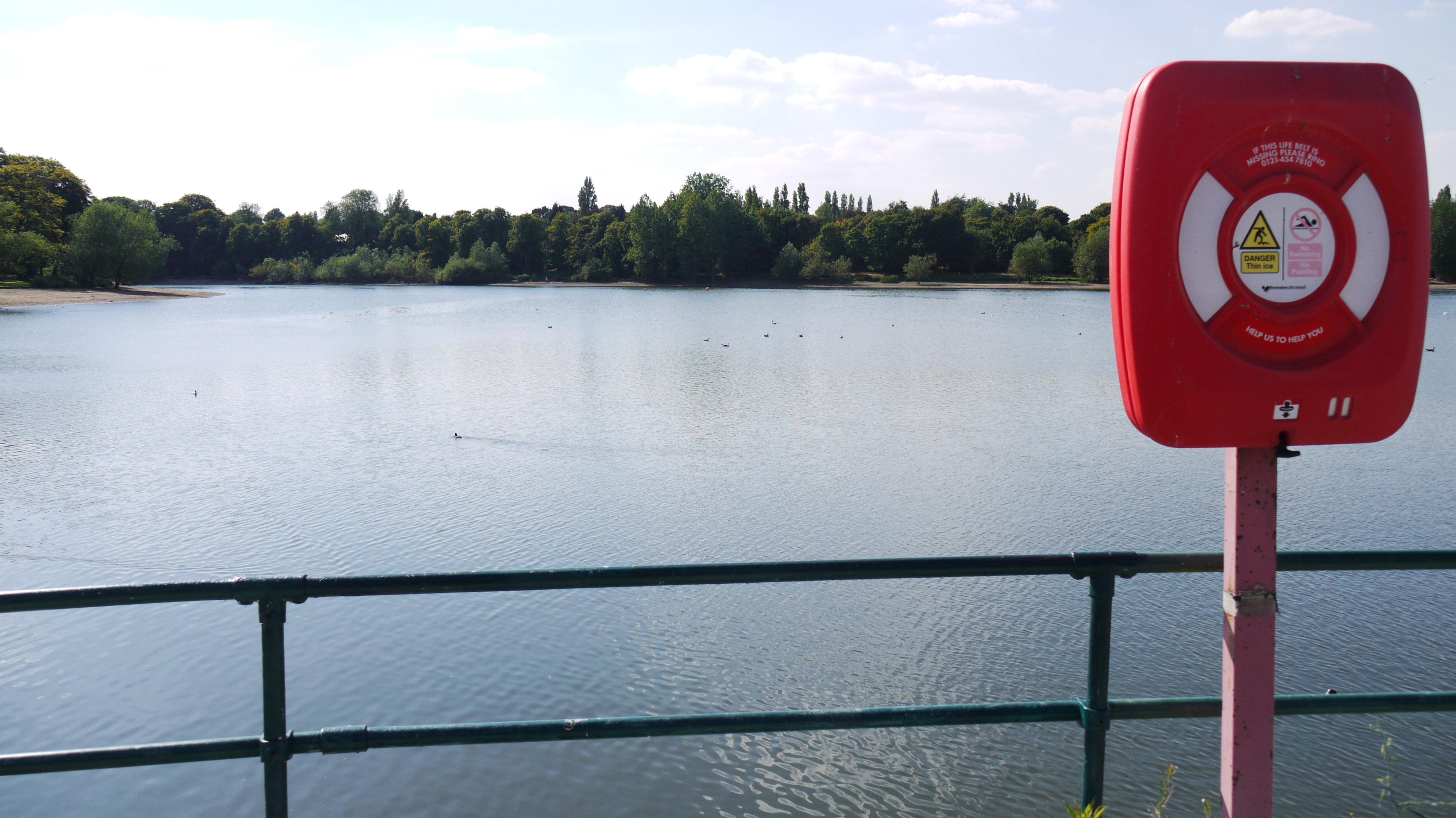
Edgbaston Reservoir, 12/08/2015 |

Class31 |
Thursday 27th of August 2015 08:44:42 PM |