
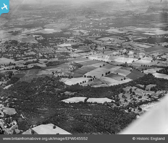
EPW045552 ENGLAND (1934). Park Wood, Hoblingwell Wood and environs, Scadbury Park, from the south-west, 1934
© Copyright OpenStreetMap contributors and licensed by the OpenStreetMap Foundation. 2026. Cartography is licensed as CC BY-SA.
Nearby Images (4)
EPW045552

EAW020728

EAW026818

EAW026817

Details
| Title | [EPW045552] Park Wood, Hoblingwell Wood and environs, Scadbury Park, from the south-west, 1934 |
| Reference | EPW045552 |
| Date | July-1934 |
| Link | |
| Place name | SCADBURY PARK |
| Parish | |
| District | |
| Country | ENGLAND |
| Easting / Northing | 545592, 169487 |
| Longitude / Latitude | 0.093446621941601, 51.40520243539 |
| National Grid Reference | TQ456695 |
Pins
 |

Mike Floate |
Tuesday 24th of December 2013 07:24:24 PM |