
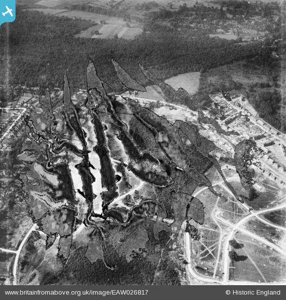
EAW026817 ENGLAND (1949). Housing estate under construction at St Paul's Cray, Bromley, 1949. This image has been produced from a damaged negative.
© Copyright OpenStreetMap contributors and licensed by the OpenStreetMap Foundation. 2026. Cartography is licensed as CC BY-SA.
Nearby Images (3)
EAW026817

EPW045552

EAW020729

Details
| Title | [EAW026817] Housing estate under construction at St Paul's Cray, Bromley, 1949. This image has been produced from a damaged negative. |
| Reference | EAW026817 |
| Date | 3-October-1949 |
| Link | |
| Place name | BROMLEY |
| Parish | |
| District | |
| Country | ENGLAND |
| Easting / Northing | 545708, 169283 |
| Longitude / Latitude | 0.095029566668357, 51.403339367157 |
| National Grid Reference | TQ457693 |
Pins
Be the first to add a comment to this image!