
EPW044770 ENGLAND (1934). Bathurst Parade, the Bathurst Basin, Holms Sand and Gravel Co Ltd and environs, Bristol, 1934

© Copyright OpenStreetMap contributors and licensed by the OpenStreetMap Foundation. 2026. Cartography is licensed as CC BY-SA.
Nearby Images (16)
EPW044770

EPW044768

EPW044772

EPW044774

EPW044771

EPW044769

EPW044773

EAW586137

EPW005436

EPW005437

EPW005438

EPW005434

EPW005435

EPW005433

EAW033320

EAW209373

Details
| Title | [EPW044770] Bathurst Parade, the Bathurst Basin, Holms Sand and Gravel Co Ltd and environs, Bristol, 1934 |
| Reference | EPW044770 |
| Date | June-1934 |
| Link | |
| Place name | BRISTOL |
| Parish | |
| District | |
| Country | ENGLAND |
| Easting / Northing | 358767, 172139 |
| Longitude / Latitude | -2.5933879990654, 51.446247130329 |
| National Grid Reference | ST588721 |
Pins

MB |
Monday 29th of August 2016 10:34:10 PM | |
|
MB |
Monday 29th of August 2016 10:33:22 PM | |
|
MB |
Monday 29th of August 2016 10:33:04 PM | |
|
MB |
Monday 29th of August 2016 10:31:46 PM | |

Class31 |
Wednesday 26th of February 2014 03:03:00 PM | |
|
Class31 |
Wednesday 26th of February 2014 02:46:29 PM | |
|
Class31 |
Wednesday 26th of February 2014 02:29:21 PM |


User Comment Contributions
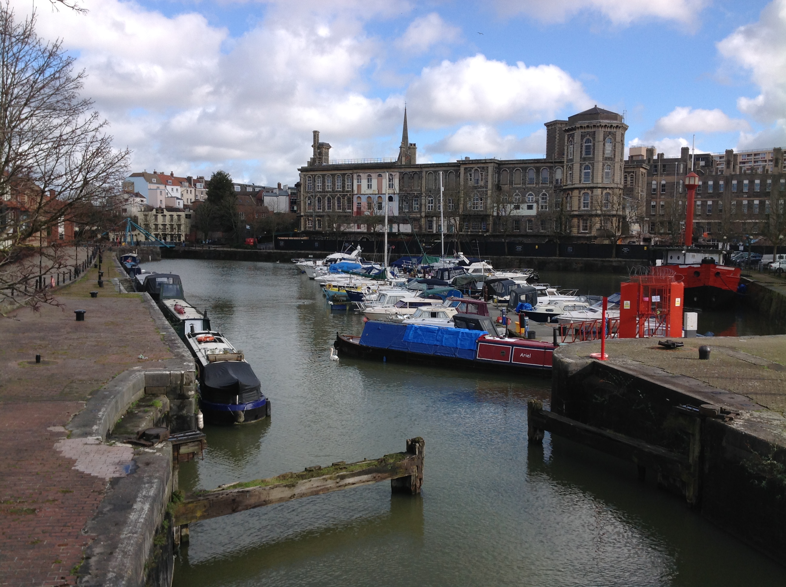
Bathurst Basin 20/2/2014 |
Class31 |
Wednesday 26th of February 2014 02:38:46 PM |