
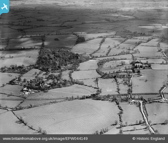
EPW044149 ENGLAND (1934). Fernhill Wood, Tiddington and surrounding countryside, Tiddington, from the north, 1934
© Copyright OpenStreetMap contributors and licensed by the OpenStreetMap Foundation. 2026. Cartography is licensed as CC BY-SA.
Nearby Images (3)
EPW044149

EPW044155

EPW044148

Details
| Title | [EPW044149] Fernhill Wood, Tiddington and surrounding countryside, Tiddington, from the north, 1934 |
| Reference | EPW044149 |
| Date | May-1934 |
| Link | |
| Place name | TIDDINGTON |
| Parish | TIDDINGTON-WITH-ALBURY |
| District | |
| Country | ENGLAND |
| Easting / Northing | 465268, 205000 |
| Longitude / Latitude | -1.0546491921794, 51.739444727109 |
| National Grid Reference | SP653050 |
Pins
Be the first to add a comment to this image!