
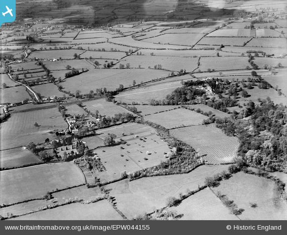
EPW044155 ENGLAND (1934). Tiddington village and surrounding countryside, Tiddington, 1934
© Copyright OpenStreetMap contributors and licensed by the OpenStreetMap Foundation. 2026. Cartography is licensed as CC BY-SA.
Nearby Images (2)
EPW044155

EPW044149

Details
| Title | [EPW044155] Tiddington village and surrounding countryside, Tiddington, 1934 |
| Reference | EPW044155 |
| Date | May-1934 |
| Link | |
| Place name | TIDDINGTON |
| Parish | TIDDINGTON-WITH-ALBURY |
| District | |
| Country | ENGLAND |
| Easting / Northing | 465249, 204904 |
| Longitude / Latitude | -1.0549423580051, 51.738583812219 |
| National Grid Reference | SP652049 |
Pins
Be the first to add a comment to this image!