
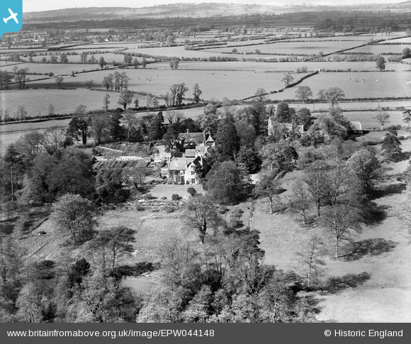
EPW044148 ENGLAND (1934). The Old Rectory, St Helen's Church and surrounding countryside, Albury, from the south, 1934
© Copyright OpenStreetMap contributors and licensed by the OpenStreetMap Foundation. 2026. Cartography is licensed as CC BY-SA.
Nearby Images (3)
EPW044148

EPW044150

EPW044149

Details
| Title | [EPW044148] The Old Rectory, St Helen's Church and surrounding countryside, Albury, from the south, 1934 |
| Reference | EPW044148 |
| Date | May-1934 |
| Link | |
| Place name | ALBURY |
| Parish | TIDDINGTON-WITH-ALBURY |
| District | |
| Country | ENGLAND |
| Easting / Northing | 465512, 204955 |
| Longitude / Latitude | -1.0511240589833, 51.739011659229 |
| National Grid Reference | SP655050 |
Pins
Be the first to add a comment to this image!