
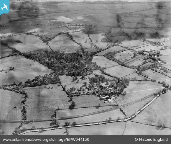
EPW044150 ENGLAND (1934). Church Farm, Fernhill Wood and surrounding countryside, Albury, 1934
© Copyright OpenStreetMap contributors and licensed by the OpenStreetMap Foundation. 2026. Cartography is licensed as CC BY-SA.
Nearby Images (2)
EPW044150

EPW044148

Details
| Title | [EPW044150] Church Farm, Fernhill Wood and surrounding countryside, Albury, 1934 |
| Reference | EPW044150 |
| Date | May-1934 |
| Link | |
| Place name | ALBURY |
| Parish | TIDDINGTON-WITH-ALBURY |
| District | |
| Country | ENGLAND |
| Easting / Northing | 465521, 204716 |
| Longitude / Latitude | -1.0510387376101, 51.736861779993 |
| National Grid Reference | SP655047 |
Pins
Be the first to add a comment to this image!