
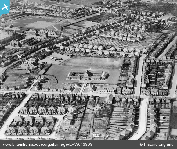
EPW043969 ENGLAND (1934). Hounslow Heath Junior School and the surrounding residential area, Hounslow West, 1934
© Copyright OpenStreetMap contributors and licensed by the OpenStreetMap Foundation. 2026. Cartography is licensed as CC BY-SA.
Nearby Images (6)
EPW043969

EPW043967

EPW043964

EPW043965

EPW043966

EPW043968

Details
| Title | [EPW043969] Hounslow Heath Junior School and the surrounding residential area, Hounslow West, 1934 |
| Reference | EPW043969 |
| Date | April-1934 |
| Link | |
| Place name | HOUNSLOW WEST |
| Parish | |
| District | |
| Country | ENGLAND |
| Easting / Northing | 512368, 175521 |
| Longitude / Latitude | -0.38212651129267, 51.46700025786 |
| National Grid Reference | TQ124755 |
Pins
Be the first to add a comment to this image!