
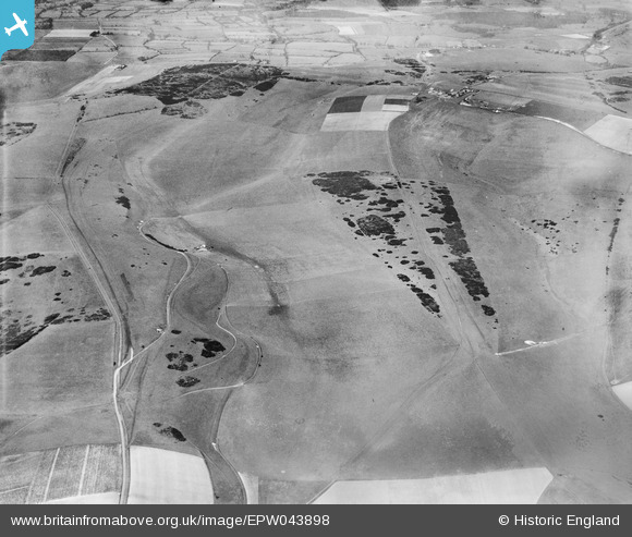
EPW043898 ENGLAND (1934). Benfield Hill, Mount Zion and environs, South Downs, 1934
© Copyright OpenStreetMap contributors and licensed by the OpenStreetMap Foundation. 2026. Cartography is licensed as CC BY-SA.
Nearby Images (4)
EPW043898

EPW043897

EPW043899

EPW043891

Details
| Title | [EPW043898] Benfield Hill, Mount Zion and environs, South Downs, 1934 |
| Reference | EPW043898 |
| Date | March-1934 |
| Link | |
| Place name | SOUTH DOWNS |
| Parish | |
| District | |
| Country | ENGLAND |
| Easting / Northing | 525438, 109065 |
| Longitude / Latitude | -0.21722546919554, 50.866906771199 |
| National Grid Reference | TQ254091 |
Pins
Be the first to add a comment to this image!