
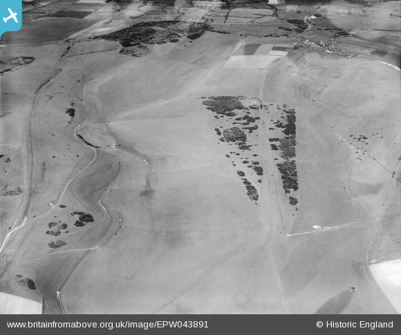
EPW043891 ENGLAND (1934). Benfield Hill and environs, South Downs, 1934
© Copyright OpenStreetMap contributors and licensed by the OpenStreetMap Foundation. 2026. Cartography is licensed as CC BY-SA.
Nearby Images (4)
EPW043891

EPW043898

EPW043899

EPW043897

Details
| Title | [EPW043891] Benfield Hill and environs, South Downs, 1934 |
| Reference | EPW043891 |
| Date | March-1934 |
| Link | |
| Place name | SOUTH DOWNS |
| Parish | |
| District | |
| Country | ENGLAND |
| Easting / Northing | 525614, 108960 |
| Longitude / Latitude | -0.21476144399822, 50.865924690665 |
| National Grid Reference | TQ256090 |
Pins

SophieWattsit |
Wednesday 12th of February 2025 08:19:41 PM | |

Renia |
Thursday 24th of November 2016 12:15:42 PM |