
EPW043888 ENGLAND (1934). Devil's Dyke Hillfort, Poynings, 1934

© Copyright OpenStreetMap contributors and licensed by the OpenStreetMap Foundation. 2026. Cartography is licensed as CC BY-SA.
Nearby Images (4)
EPW043888

EAW050658

EAW050654

EAW050653

Details
| Title | [EPW043888] Devil's Dyke Hillfort, Poynings, 1934 |
| Reference | EPW043888 |
| Date | March-1934 |
| Link | |
| Place name | POYNINGS |
| Parish | POYNINGS |
| District | |
| Country | ENGLAND |
| Easting / Northing | 526349, 111396 |
| Longitude / Latitude | -0.20347903495826, 50.88766180097 |
| National Grid Reference | TQ263114 |
Pins

adrianmc |
Wednesday 29th of May 2024 11:41:46 AM |
User Comment Contributions
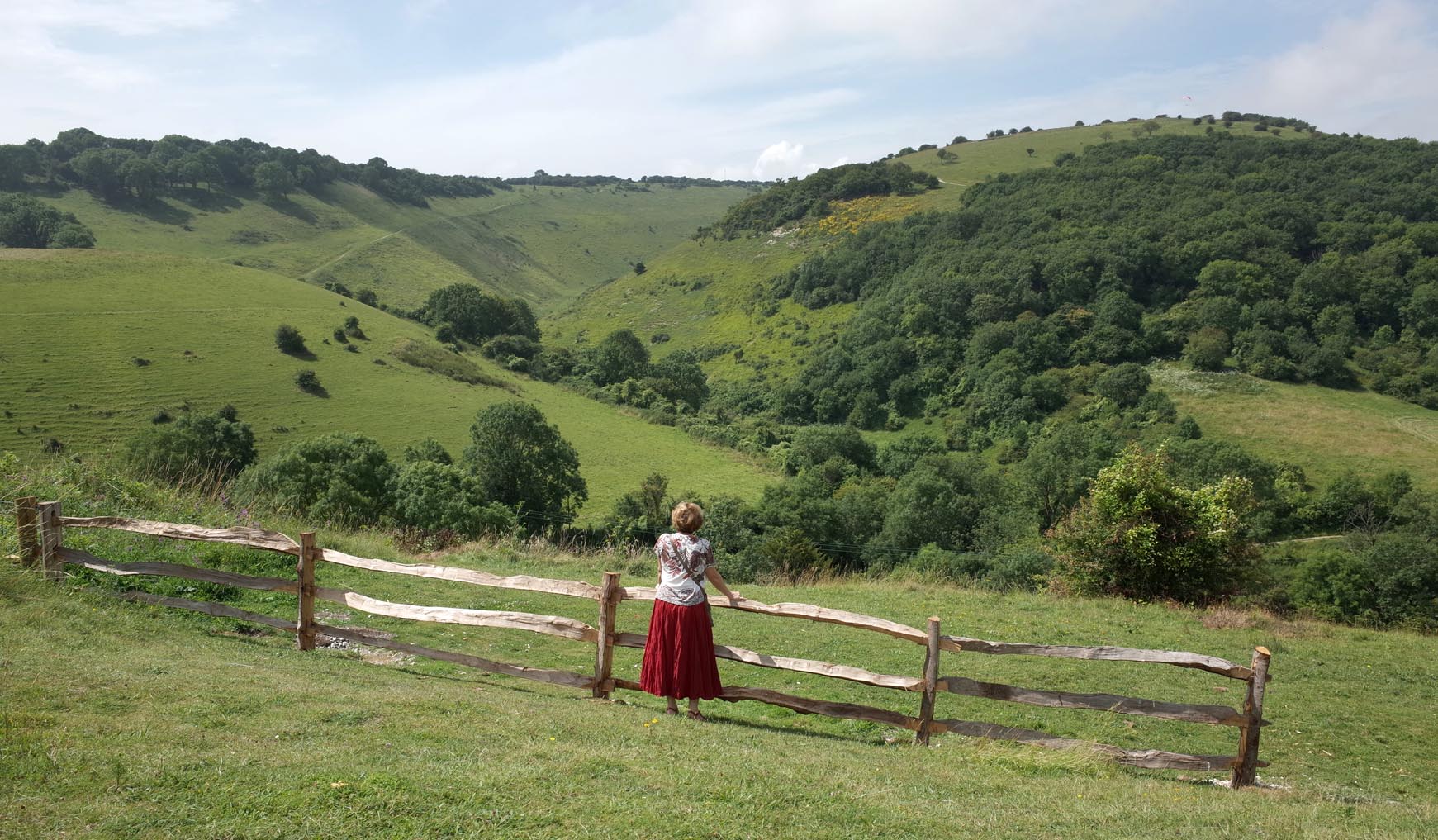
The Devil's Dyke |

Alan McFaden |
Tuesday 25th of November 2014 06:08:07 PM |
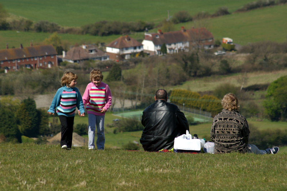
The top of Devil's Dyke |
Alan McFaden |
Tuesday 25th of November 2014 06:07:35 PM |
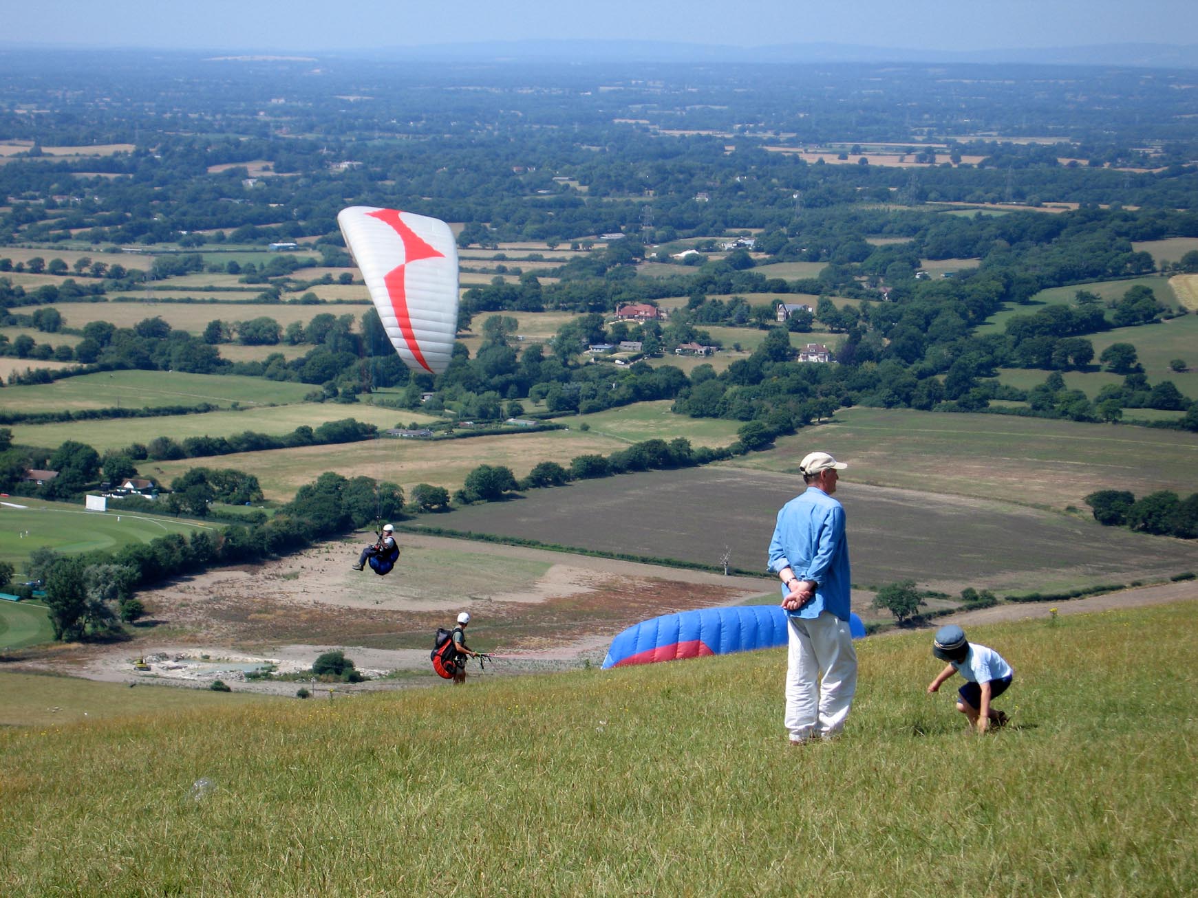
The top of Devil's Dyke |
Alan McFaden |
Tuesday 25th of November 2014 06:07:06 PM |
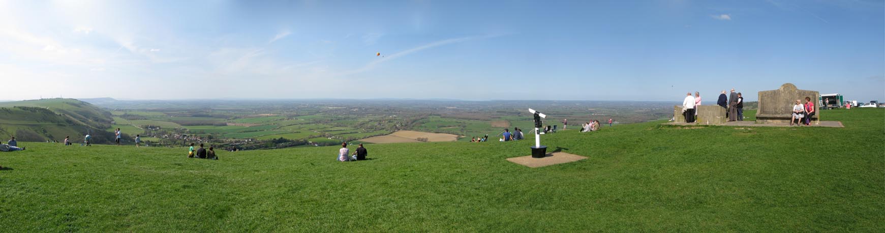
The Top of Devil's Dyke Panorama |
Alan McFaden |
Tuesday 25th of November 2014 06:06:32 PM |