
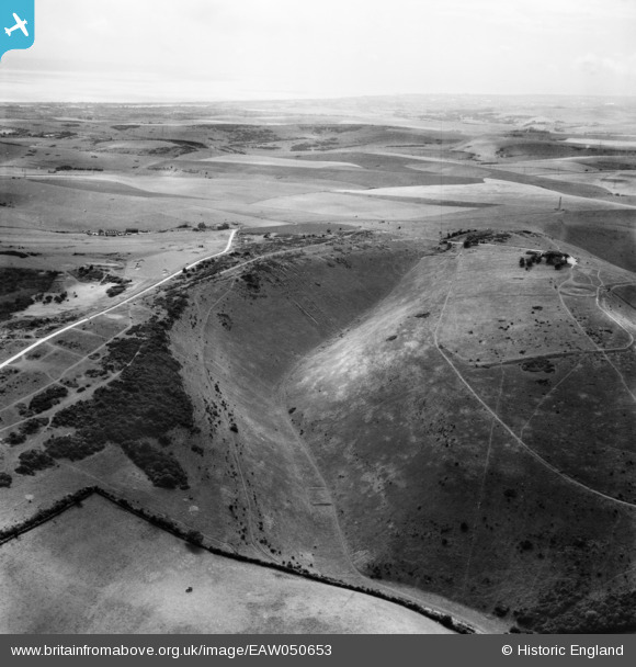
EAW050653 ENGLAND (1953). Devil's Dyke, Poynings, from the north-east, 1953
© Copyright OpenStreetMap contributors and licensed by the OpenStreetMap Foundation. 2026. Cartography is licensed as CC BY-SA.
Nearby Images (3)
EAW050653

EAW050654

EPW043888

Details
| Title | [EAW050653] Devil's Dyke, Poynings, from the north-east, 1953 |
| Reference | EAW050653 |
| Date | 15-July-1953 |
| Link | |
| Place name | POYNINGS |
| Parish | POYNINGS |
| District | |
| Country | ENGLAND |
| Easting / Northing | 526557, 111214 |
| Longitude / Latitude | -0.2005861452882, 50.885980260417 |
| National Grid Reference | TQ266112 |
Pins

SophieWattsit |
Wednesday 12th of February 2025 08:49:48 PM |
User Comment Contributions
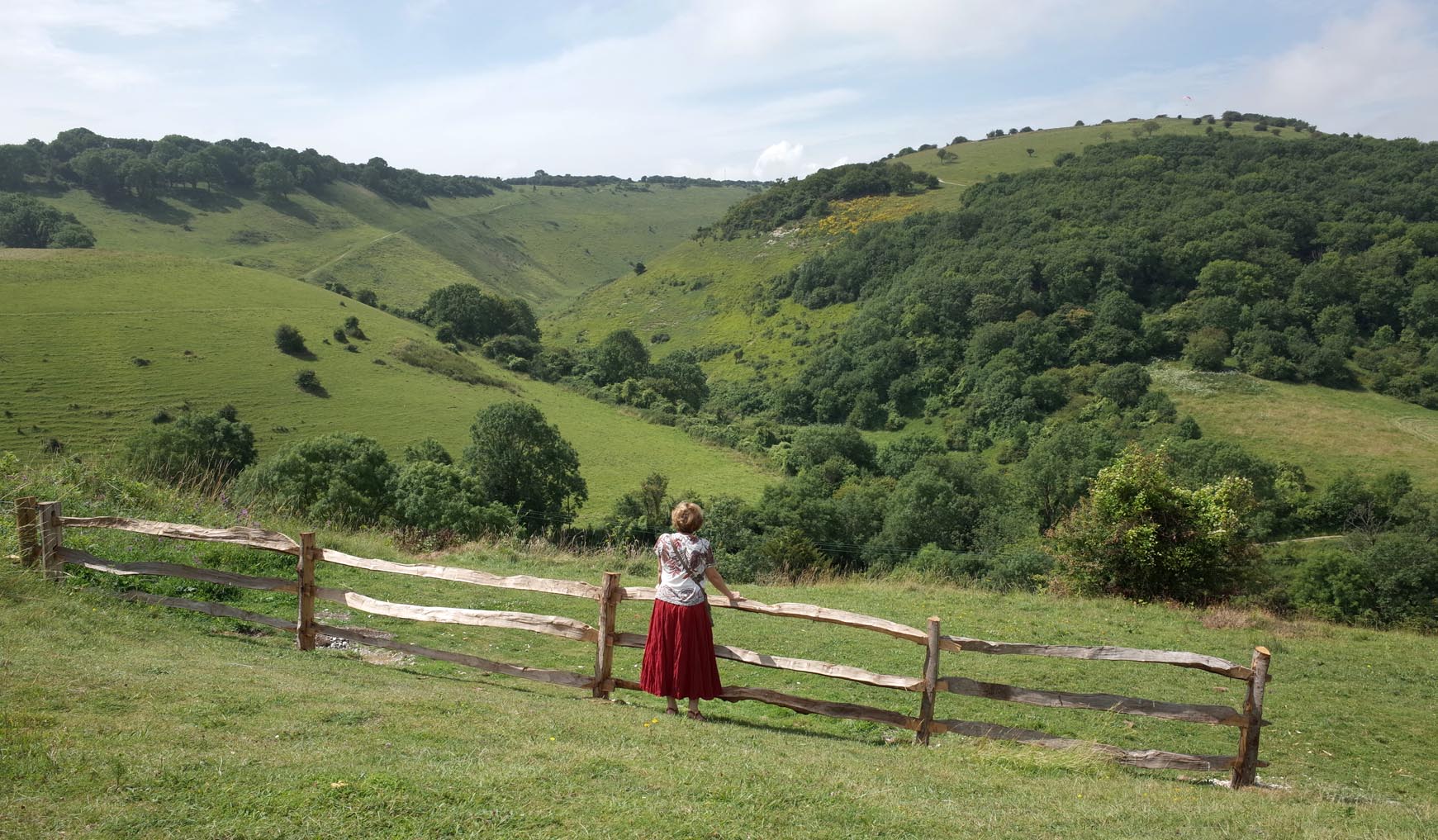
The Devil's Dyke |

Alan McFaden |
Sunday 16th of November 2014 10:45:01 AM |