
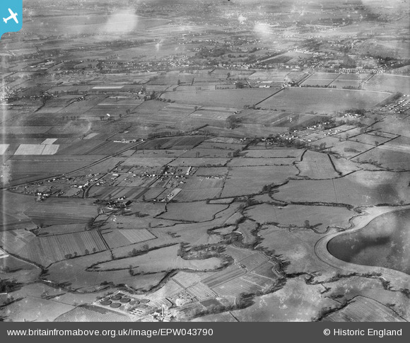
EPW043790 ENGLAND (1934). Field Common and environs, Walton-on-Thames, from the south-east, 1934
© Copyright OpenStreetMap contributors and licensed by the OpenStreetMap Foundation. 2025. Cartography is licensed as CC BY-SA.
Nearby Images (4)
EPW043790

EPW043788

EPW043794

EPW043791

Details
| Title | [EPW043790] Field Common and environs, Walton-on-Thames, from the south-east, 1934 |
| Reference | EPW043790 |
| Date | February-1934 |
| Link | |
| Place name | WALTON-ON-THAMES |
| Parish | |
| District | |
| Country | ENGLAND |
| Easting / Northing | 513070, 166607 |
| Longitude / Latitude | -0.37486907208869, 51.386732522238 |
| National Grid Reference | TQ131666 |
Pins

nigs |
Thursday 1st of January 2015 02:30:18 PM |