
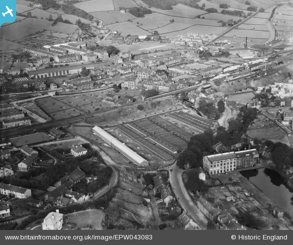
EPW043083 ENGLAND (1933). Thornber Brothers, Mytholmroyd, 1933
© Copyright OpenStreetMap contributors and licensed by the OpenStreetMap Foundation. 2026. Cartography is licensed as CC BY-SA.
Nearby Images (8)
EPW043083

EPW042894

EPW043090

EPW042892

EPW043088

EPW043089

EPW042893

EPW042897

Details
| Title | [EPW043083] Thornber Brothers, Mytholmroyd, 1933 |
| Reference | EPW043083 |
| Date | September-1933 |
| Link | |
| Place name | MYTHOLMROYD |
| Parish | HEBDEN ROYD |
| District | |
| Country | ENGLAND |
| Easting / Northing | 401100, 425800 |
| Longitude / Latitude | -1.9833255411899, 53.72837455423 |
| National Grid Reference | SE011258 |
Pins

jimmyjoggers |
Friday 10th of February 2017 01:50:18 PM | |
|
jimmyjoggers |
Friday 10th of February 2017 01:50:18 PM | |
|
stardelta |
Sunday 11th of October 2015 11:11:56 AM |