
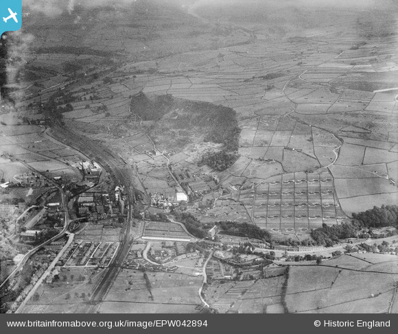
EPW042894 ENGLAND (1933). Thornber Brothers New House Poultry Farm and environs, Mytholmroyd, from the north-west, 1933
© Copyright OpenStreetMap contributors and licensed by the OpenStreetMap Foundation. 2026. Cartography is licensed as CC BY-SA.
Nearby Images (8)
EPW042894

EPW043083

EPW042892

EPW043088

EPW043090

EPW042893

EPW043089

EPW042897

Details
| Title | [EPW042894] Thornber Brothers New House Poultry Farm and environs, Mytholmroyd, from the north-west, 1933 |
| Reference | EPW042894 |
| Date | August-1933 |
| Link | |
| Place name | MYTHOLMROYD |
| Parish | HEBDEN ROYD |
| District | |
| Country | ENGLAND |
| Easting / Northing | 401060, 425713 |
| Longitude / Latitude | -1.9839321832904, 53.727592583799 |
| National Grid Reference | SE011257 |
Pins
Be the first to add a comment to this image!