
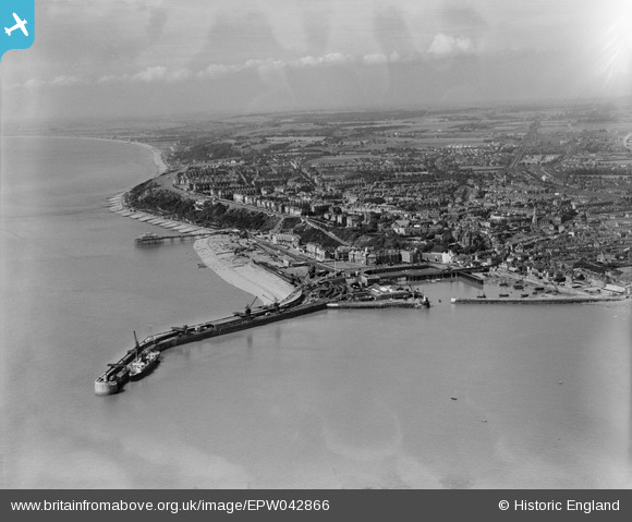
EPW042866 ENGLAND (1933). The Harbour Pier, Outer Harbour and the town, Folkestone, from the east, 1933
© Copyright OpenStreetMap contributors and licensed by the OpenStreetMap Foundation. 2026. Cartography is licensed as CC BY-SA.
Nearby Images (9)
EPW042866

EAW002850

EAW002849

EAW002848

EAW002379

EPW042865

EAW006157

EAW024826

EPW000089

Details
| Title | [EPW042866] The Harbour Pier, Outer Harbour and the town, Folkestone, from the east, 1933 |
| Reference | EPW042866 |
| Date | August-1933 |
| Link | |
| Place name | FOLKESTONE |
| Parish | FOLKESTONE |
| District | |
| Country | ENGLAND |
| Easting / Northing | 623678, 135816 |
| Longitude / Latitude | 1.1936501494563, 51.077465499834 |
| National Grid Reference | TR237358 |
Pins
Be the first to add a comment to this image!