
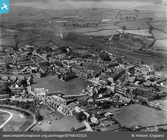
EPW042015 ENGLAND (1933). Christ Church and the town centre, Carnforth, from the north-east, 1933
© Copyright OpenStreetMap contributors and licensed by the OpenStreetMap Foundation. 2026. Cartography is licensed as CC BY-SA.
Nearby Images (6)
EPW042015

EPW042017

EPW029240

EPW042016

EPW029239

EPW042014

Details
| Title | [EPW042015] Christ Church and the town centre, Carnforth, from the north-east, 1933 |
| Reference | EPW042015 |
| Date | June-1933 |
| Link | |
| Place name | CARNFORTH |
| Parish | CARNFORTH |
| District | |
| Country | ENGLAND |
| Easting / Northing | 349975, 470567 |
| Longitude / Latitude | -2.7656008729693, 54.128343582778 |
| National Grid Reference | SD500706 |
Pins
User Comment Contributions
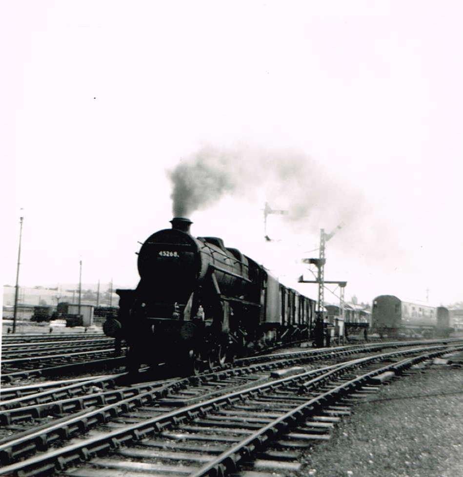
Black 5 45268 at Carnforth July 1968 |

Class31 |
Saturday 21st of February 2015 10:24:38 PM |
note that crag bank, now a sprawling mess of hideous suburban homes does not seem to exist at all on this photo, just the rew victorian houses and the farm are visible in the background. |

stu |
Friday 20th of February 2015 09:09:57 PM |