
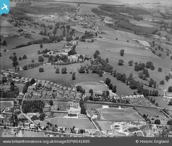
EPW041895 ENGLAND (1933). Stratford Road cricket ground and environs, Stroud, from the south, 1933,
© Copyright OpenStreetMap contributors and licensed by the OpenStreetMap Foundation. 2026. Cartography is licensed as CC BY-SA.
Nearby Images (3)
EPW041895

EPW041894

EPW041896

Details
| Title | [EPW041895] Stratford Road cricket ground and environs, Stroud, from the south, 1933, |
| Reference | EPW041895 |
| Date | June-1933 |
| Link | |
| Place name | STROUD |
| Parish | STROUD |
| District | |
| Country | ENGLAND |
| Easting / Northing | 384057, 205481 |
| Longitude / Latitude | -2.230958626223, 51.747344956339 |
| National Grid Reference | SO841055 |
Pins

The Cornish Northerner |
Tuesday 8th of September 2015 11:34:09 AM | |
|
The Cornish Northerner |
Tuesday 8th of September 2015 11:33:36 AM | |
|
The Cornish Northerner |
Tuesday 8th of September 2015 11:32:46 AM | |
|
The Cornish Northerner |
Tuesday 8th of September 2015 11:32:01 AM | |
|
The Cornish Northerner |
Tuesday 8th of September 2015 11:30:49 AM | |
|
Chris |
Saturday 17th of May 2014 07:25:59 PM | |
|
Chris |
Saturday 17th of May 2014 07:24:20 PM |