
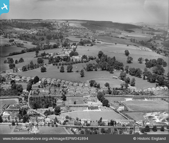
EPW041894 ENGLAND (1933). Stroud High School and environs, Stroud, from the south, 1933,
© Copyright OpenStreetMap contributors and licensed by the OpenStreetMap Foundation. 2026. Cartography is licensed as CC BY-SA.
Nearby Images (3)
EPW041894

EPW041895

EPW041896

Details
| Title | [EPW041894] Stroud High School and environs, Stroud, from the south, 1933, |
| Reference | EPW041894 |
| Date | June-1933 |
| Link | |
| Place name | STROUD |
| Parish | STROUD |
| District | |
| Country | ENGLAND |
| Easting / Northing | 384008, 205470 |
| Longitude / Latitude | -2.2316679535981, 51.747244646847 |
| National Grid Reference | SO840055 |
Pins

James Chandler |
Sunday 31st of July 2016 05:52:20 PM | |
|
John G. |
Sunday 31st of July 2016 03:24:33 PM | |
|
John G. |
Sunday 31st of July 2016 03:18:08 PM | |
|
Vision Mill Architects |
Tuesday 8th of March 2016 10:36:00 PM |