
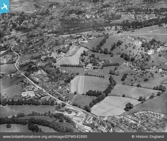
EPW041890 ENGLAND (1933). Stringer's Farm, Lightpill Erinoid Mills and environs, Rodborough, 1933,
© Copyright OpenStreetMap contributors and licensed by the OpenStreetMap Foundation. 2026. Cartography is licensed as CC BY-SA.
Nearby Images (3)
EPW041890

EPW041891

EPW041866

Details
| Title | [EPW041890] Stringer's Farm, Lightpill Erinoid Mills and environs, Rodborough, 1933, |
| Reference | EPW041890 |
| Date | June-1933 |
| Link | |
| Place name | RODBOROUGH |
| Parish | RODBOROUGH |
| District | |
| Country | ENGLAND |
| Easting / Northing | 384331, 204245 |
| Longitude / Latitude | -2.2269336660195, 51.736238495838 |
| National Grid Reference | SO843042 |
Pins

angus |
Tuesday 10th of October 2017 08:32:15 PM | |
|
totoro |
Tuesday 10th of January 2017 05:09:22 PM |