
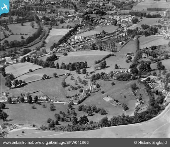
EPW041866 ENGLAND (1933). Stanfields and environs, Rodborough, 1933
© Copyright OpenStreetMap contributors and licensed by the OpenStreetMap Foundation. 2026. Cartography is licensed as CC BY-SA.
Nearby Images (4)
EPW041866

EPW041891

EPW041890

EAW016113

Details
| Title | [EPW041866] Stanfields and environs, Rodborough, 1933 |
| Reference | EPW041866 |
| Date | June-1933 |
| Link | |
| Place name | RODBOROUGH |
| Parish | RODBOROUGH |
| District | |
| Country | ENGLAND |
| Easting / Northing | 384317, 204013 |
| Longitude / Latitude | -2.2271259679813, 51.73415194269 |
| National Grid Reference | SO843040 |
Pins
Be the first to add a comment to this image!