
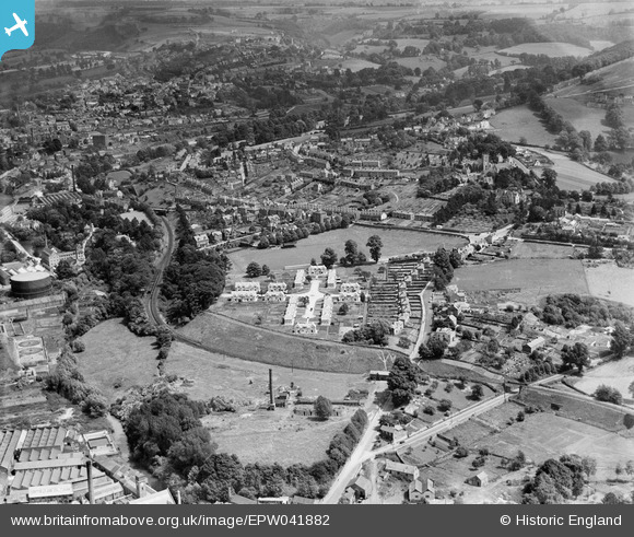
EPW041882 ENGLAND (1933). Paynes Place, Bath Road and environs, Rodborough, 1933
© Copyright OpenStreetMap contributors and licensed by the OpenStreetMap Foundation. 2026. Cartography is licensed as CC BY-SA.
Nearby Images (4)
EPW041882

EPW041881

EPW041883

EAW016110

Details
| Title | [EPW041882] Paynes Place, Bath Road and environs, Rodborough, 1933 |
| Reference | EPW041882 |
| Date | June-1933 |
| Link | |
| Place name | RODBOROUGH |
| Parish | RODBOROUGH |
| District | |
| Country | ENGLAND |
| Easting / Northing | 384088, 204624 |
| Longitude / Latitude | -2.2304703338753, 51.739639642031 |
| National Grid Reference | SO841046 |
Pins

gerry-r |
Monday 7th of July 2014 11:46:24 PM |