
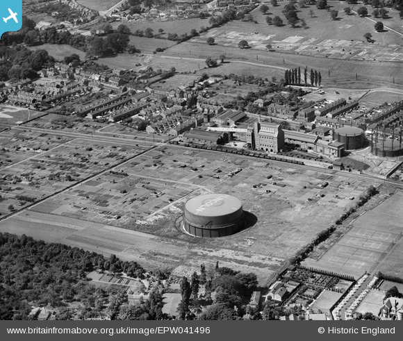
EPW041496 ENGLAND (1933). The Bracebridge Gasworks, Lincoln, 1933
© Copyright OpenStreetMap contributors and licensed by the OpenStreetMap Foundation. 2026. Cartography is licensed as CC BY-SA.
Nearby Images (25)
EPW041496

EAW003303

EAW002780

EAW002778

EAW003302

EPW041497

EAW003305

EAW003306

EAW003301

EAW003309

EAW003308

EPW041500

EPW041499

EPW041498

EAW003307

EAW003310

EAW003311

EAW002776

EAW003304

EAW002777

EPW041495

EAW002779

EAW002775

EPW041501

EAW003300

Details
| Title | [EPW041496] The Bracebridge Gasworks, Lincoln, 1933 |
| Reference | EPW041496 |
| Date | June-1933 |
| Link | |
| Place name | LINCOLN |
| Parish | |
| District | |
| Country | ENGLAND |
| Easting / Northing | 497050, 368681 |
| Longitude / Latitude | -0.54676401060586, 53.206042950736 |
| National Grid Reference | SK971687 |
Pins

Doug |
Thursday 19th of February 2026 08:13:06 PM | |
|
John Herridge |
Tuesday 27th of April 2021 12:09:58 PM | |
|
John Herridge |
Tuesday 27th of April 2021 12:09:25 PM | |
|
John Herridge |
Tuesday 18th of February 2020 02:55:53 PM | |
|
John Herridge |
Tuesday 18th of February 2020 02:47:52 PM |