
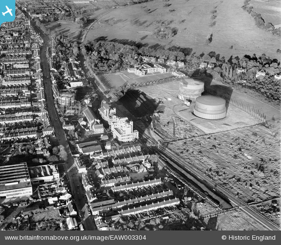
EAW003304 ENGLAND (1946). Newark Road, the Lincoln Gas Works and environs, Bracebridge, 1946
© Copyright OpenStreetMap contributors and licensed by the OpenStreetMap Foundation. 2026. Cartography is licensed as CC BY-SA.
Nearby Images (25)
EAW003304

EAW003301

EAW003305

EAW002776

EAW003302

EAW002779

EPW041498

EPW041499

EAW002778

EPW041500

EAW002775

EAW003303

EPW041496

EPW041497

EAW003306

EPW041495

EAW003310

EAW003307

EAW002780

EPW041501

EAW003308

EAW003309

EAW003311

EAW002777

EAW003300

Details
| Title | [EAW003304] Newark Road, the Lincoln Gas Works and environs, Bracebridge, 1946 |
| Reference | EAW003304 |
| Date | 4-November-1946 |
| Link | |
| Place name | BRACEBRIDGE |
| Parish | |
| District | |
| Country | ENGLAND |
| Easting / Northing | 497079, 368780 |
| Longitude / Latitude | -0.54629979917679, 53.206927369143 |
| National Grid Reference | SK971688 |
