
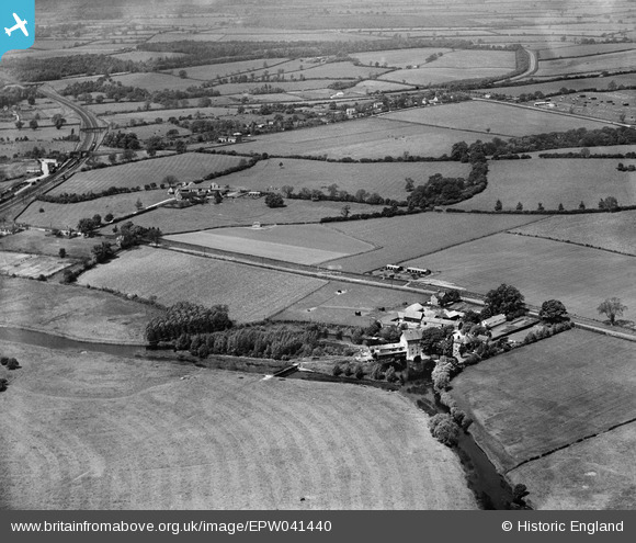
EPW041440 ENGLAND (1933). Stoke Corn Mill and environs, Sharnbrook, from the south, 1933
© Copyright OpenStreetMap contributors and licensed by the OpenStreetMap Foundation. 2026. Cartography is licensed as CC BY-SA.
Nearby Images (9)
EPW041440

EPW041443

EPW041444

EPW041437

EPW041438

EPW041442

EPW041445

EPW041441

EPW041439

Details
| Title | [EPW041440] Stoke Corn Mill and environs, Sharnbrook, from the south, 1933 |
| Reference | EPW041440 |
| Date | June-1933 |
| Link | |
| Place name | SHARNBROOK |
| Parish | SHARNBROOK |
| District | |
| Country | ENGLAND |
| Easting / Northing | 501030, 259096 |
| Longitude / Latitude | -0.52088680534177, 52.220396649457 |
| National Grid Reference | TL010591 |
Pins

John Wass |
Tuesday 30th of June 2015 03:01:36 PM | |

melgibbs |
Monday 13th of January 2014 06:29:08 PM |
User Comment Contributions
Stoke Mill ran with 6 pairs of millstones until converted to roller milling, possibly at the time a turbine replaced the waterwheel in 1889. Steam power was also employed and silos were added to store grain. ABF took the mill over in 1961 and it closed in 1969. It was converted to become The Mill Theatre, opening in 1979 |
MB |
Tuesday 4th of October 2016 11:02:02 AM |