
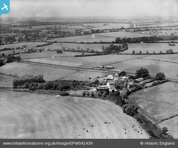
EPW041439 ENGLAND (1933). Stoke Corn Mill and environs, Sharnbrook, from the south, 1933
© Copyright OpenStreetMap contributors and licensed by the OpenStreetMap Foundation. 2026. Cartography is licensed as CC BY-SA.
Nearby Images (9)
EPW041439

EPW041441

EPW041445

EPW041437

EPW041438

EPW041444

EPW041443

EPW041442

EPW041440

Details
| Title | [EPW041439] Stoke Corn Mill and environs, Sharnbrook, from the south, 1933 |
| Reference | EPW041439 |
| Date | June-1933 |
| Link | |
| Place name | SHARNBROOK |
| Parish | SHARNBROOK |
| District | |
| Country | ENGLAND |
| Easting / Northing | 501098, 259012 |
| Longitude / Latitude | -0.51991672751277, 52.219629145729 |
| National Grid Reference | TL011590 |
Pins

melgibbs |
Monday 13th of January 2014 06:27:39 PM |